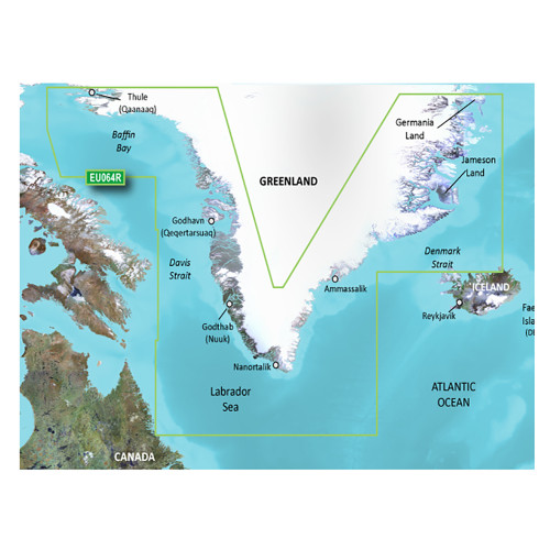
Garmin - BlueChart g3 Vision HD Electronic Chart - VEU054R, Vestfjd-Svalbard-Varanger, microSD/SD
-
Perfet Fit, Guaranteed
Get the right part every time
-
Expert Support
Our in-house specialists know our products inside and out
-
Enhanced Value & Service
We go beyond the sale with professional and balanced services
-
Wordwide Delivery
Enjoy hassle-free worldwide delivery
Navigate Like a Pro with BlueChart® g3 Vision® HD - VEU054R
Unlock the hidden treasures of the Northern Norway coast, from Vestfjorden to Vadso, including Tromsø and Narvik, and navigate the adventurous waters around Svalbard with the BlueChart® g3 Vision® HD - VEU054R. This microSD™/SD™ card provides unparalleled cartographic detail, merging the best of Garmin and Navionics® content for a seamless and safe marine experience.
Features That Set Sail
- Enjoy the industry's most extensive coastal coverage, with crystal-clear details.
- Auto Guidance¹ technology to find the quickest and safest route based on your desired depth and overhead clearance.
- Depth Range Shading for enhanced visual cues up to 10 depth ranges.
- Shallow Water Shading for custom-defined shallow areas.
- FishEye and MarinerEye Views for a 3D visualization both below and above the waterline.
The Science of Sailing: Technical Specifications
This top-of-the-line chart card integrates Garmin and Navionics® data for premier coastal charts, features Auto Guidance¹ for route suggestions, Depth Range Shading for multiple depth ranges, and much more. Enjoy a realistic portrayal of your surrounding area both above and below the waterline with MarinerEye and FishEye views.
Visualize the Depths: Depth Range Shading
Get an edge with high-resolution Depth Range Shading that allows for easy identification of target depths up to 10 distinct ranges.
Why Sail Ordinary? Key Highlights
- Ultra-detailed charts for Northern Norway and Svalbard
- 3D FishEye and MarinerEye Views for better underwater and above-the-water visualizations
- High-resolution satellite imagery for an enhanced realistic view
- Customizable Depth and Shallow Water Shading
We ship all in-store (FL) stock orders the same day if placed before 3 PM EST, Monday through Friday. Orders placed after this time will ship the next business day. Orders fulfilled from other warehouses or manufacturers may not ship the same day. If an item is out of stock, we will notify you promptly.


