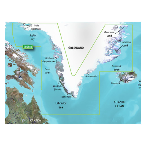
Garmin - BlueChart® g3 Vision HD Electronic Chart - VEU500S, Blyth to Lowestoft, microSD/SD
-
Perfet Fit, Guaranteed
Get the right part every time
-
Expert Support
Our in-house specialists know our products inside and out
-
Enhanced Value & Service
We go beyond the sale with professional and balanced services
-
Wordwide Delivery
Enjoy hassle-free worldwide delivery
Discover the Depths with BlueChart®
Embark on a journey along the English coast, from the picturesque Blyth to the charming Lowestoft. Navigate with confidence and explore prominent locations like Newcastle, Middlesbrough, and Kingston Upon Hull. Delve into the intricate waterways of the Humber River to Goole and the Trent River to Gainsborough.
Unmatched Precision and Clarity
Experience marine navigation like never before with our premier coastal charts, a brilliant fusion of Garmin and Navionics® expertise.
Key Navigational Features
- Quick route calculations with Auto Guidance¹
- Easy target depth identification with Depth Range Shading
- User-definable Shallow Water Shading for secure maneuvering
- Enhanced bottom structure depiction with 1’ contours
Dive into Vivid Details
Get a lifelike view of your maritime surroundings with high-resolution satellite imagery, overlaying navigational charts. This unmatched visual clarity ensures safe harbor or port entries, even if they're unfamiliar.
We ship all in-store (FL) stock orders the same day if placed before 3 PM EST, Monday through Friday. Orders placed after this time will ship the next business day. Orders fulfilled from other warehouses or manufacturers may not ship the same day. If an item is out of stock, we will notify you promptly.


