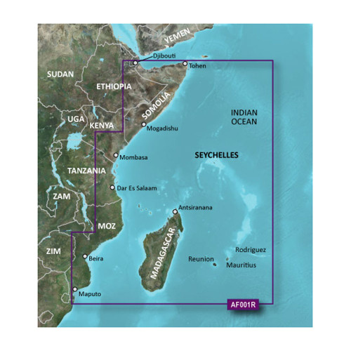
Garmin - BlueChart g3 HD Navigation Chart - HUS048R, Bermuda, microSD/SD
-
Perfect Fit, Guaranteed
Get the right part every time
-
Expert Support
Our in-house specialists know our products inside and out
-
Enhanced Value & Service
We go beyond the sale with professional and balanced services
-
Wordwide Delivery
Enjoy hassle-free worldwide delivery
Embark on Ocean Adventures with BlueChart®
Set sail on the azure waters around Bermuda with the BlueChart® g3 HD - HUS048R. This marine product provides unparalleled coastal chart coverage of Bermuda, ensuring your journey is both safe and memorable.
Charting Bermuda's Beauty
Experience Bermuda in unrivaled detail, from Saint George's Island to Castle Harbour. Get to know the ins and outs of Harrington Sound, discover the intricacies of Hamilton Island, and more.
Diving Deeper: Technical Specs
- Enhanced clarity and detail with integrated Garmin and Navionics® data
- State-of-the-art Auto Guidance technology offers depth and overhead clearance suggestions
- High-resolution Depth Range Shading for up to 10 depth ranges
- Detailed contours of up to 1’ enhance navigation in complex areas
- Complimentary NOAA raster cartography via the ActiveCaptain® app
Zooming In: Product Features
With Auto Guidance Technology, let your chartplotter calculate and suggest the safest route based on your specified depth and overhead clearance. The Depth Range Shading showcases up to 10 depth ranges, pinpointing your target depth swiftly. With up to 1’ contours, witness a lifelike depiction of underwater structures, enhancing navigation in swamps, canals, and marinas. For efficient navigation, the Shallow Water Shading feature provides clarity on regions to evade, while the NOAA Raster Cartography delivers chart-like views of surveyed areas, complete with longitude and latitude data.
We ship all in-store (FL) stock orders the same day if placed before 3 PM EST, Monday through Friday. Orders placed after this time will ship the next business day. Orders fulfilled from other warehouses or manufacturers may not ship the same day. If an item is out of stock, we will notify you promptly.


