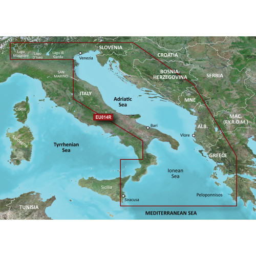
Garmin - BlueChart® g3 HD - HXEU015R Aegean Sea & Sea of Marmara - microSD™/SD™
-
Perfet Fit, Guaranteed
Get the right part every time
-
Expert Support
Our in-house specialists know our products inside and out
-
Enhanced Value & Service
We go beyond the sale with professional and balanced services
-
Wordwide Delivery
Enjoy hassle-free worldwide delivery
Unlock the Secrets of the Aegean Sea with BlueChart® g3 HD
BlueChart® g3 HD - HXEU015R - Aegean Sea & Sea of Marmara - microSD™/SD™
Set sail on a voyage of discovery through the coasts of Greece, Turkey, and even Brindisi, Italy. With unmatched chart coverage, you'll navigate the Aegean Sea and the Sea of Marmara like never before.
Navigate like a Pro: Technical Features Unveiled
- Integrated Garmin and Navionics® data offers top-of-the-line coverage and clarity
- Auto Guidance¹ technology for personalized routing based on your boat's dimensions
- Depth Range Shading for visualizing up to 10 different depth ranges
- Accurate 1' contours for detailed underwater topography
- Free NOAA raster cartography via ActiveCaptain® app
Compact Size, Gigantic Capabilities: Product Dimensions
The product comes in a standard microSD™/SD™ card format, easily insertable into compatible chartplotters and devices.
Chart Your Course: Highlights You Can't Miss
Auto Guidance¹ not only makes your voyages safer but also takes the complexity out of route planning. With Depth Range Shading, you're always aware of the underwater terrain. Plus, free NOAA raster cartography ensures you're never sailing blind.
Sail Beyond Horizons: Available Variations
The BlueChart® g3 HD HXEU015R is available for different regions around the globe. Each region comes as an accessory card or can be downloaded separately. Make your choice and expand your horizons.
We ship all in-store (FL) stock orders the same day if placed before 3 PM EST, Monday through Friday. Orders placed after this time will ship the next business day. Orders fulfilled from other warehouses or manufacturers may not ship the same day. If an item is out of stock, we will notify you promptly.


