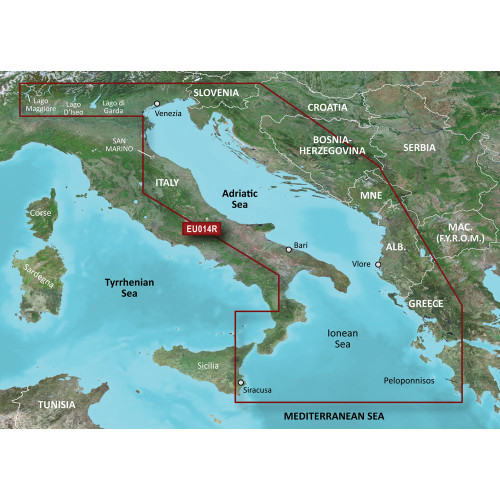
Garmin - BlueChart® g3 HD - HXEU004R - Irish Sea - microSD™/SD™
-
Perfet Fit, Guaranteed
Get the right part every time
-
Expert Support
Our in-house specialists know our products inside and out
-
Enhanced Value & Service
We go beyond the sale with professional and balanced services
-
Wordwide Delivery
Enjoy hassle-free worldwide delivery
The Voyage Blueprint: BlueChart® g3 HD - HXEU004R - Irish Sea
Embark on a navigational experience like no other. Venture the British and Irish coastal regions with precision, clarity, and advanced data integration. Whether you're sailing from Port Ellen on the Isle of Islay or voyaging towards Dublin, the BlueChart® g3 HD will be your trusted chart companion.
Navigational Mastery: Technical Specifications
- Integrated data from industry leaders: Garmin and Navionics®
- Auto Guidance¹ for route calculation based on desired depth and overhead clearance
- High-resolution Depth Range Shading for up to 10 depth ranges
- Detailed 1’ contours for accurate bottom structure representation
- NOAA raster cartography available via the ActiveCaptain® app
Spotlight Features
- Route guidance with Auto Guidance Technology
- Depth Range Shading for targeted depth visualization
- Enhanced details in swamp regions, canals, and port plans with Detailed Contours
- User-defined depth shading with Shallow Water Shading
- Chartplotter views mirroring paper charts through NOAA Raster Cartography
We ship all in-store (FL) stock orders the same day if placed before 3 PM EST, Monday through Friday. Orders placed after this time will ship the next business day. Orders fulfilled from other warehouses or manufacturers may not ship the same day. If an item is out of stock, we will notify you promptly.


