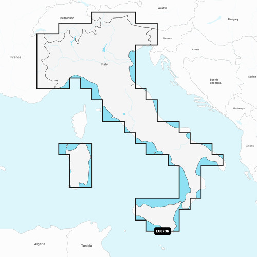
Garmin - Navionics+ Electronic Charts - NSEU080R, France, Lakes & Rivers
-
Perfect Fit, Guaranteed
Get the right part every time
-
Expert Support
Our in-house specialists know our products inside and out
-
Enhanced Value & Service
We go beyond the sale with professional and balanced services
-
Wordwide Delivery
Enjoy hassle-free worldwide delivery
Dive Deep into Marine Exploration
Introducing the world’s premier choice in marine mapping, designed to redefine your sailing experience. Embrace the most recent Navionics®+ cartography and plot your maritime journey like a pro.
Map Out Your Dimensions
Witness unparalleled detailing of the heart of France including a vivid description of famous river systems like Adour, Garonne, and many more. Get to explore Lake Leman, Lake Neuchatel, and a vast array of canals that traverse the beautiful landscape of France.
Unfold the Features
- All-in-one Map Solution: Comprehensive mapping of coastal attributes, lakes, and rivers with an integration of Garmin and Navionics® for global boaters.
- Daily Chart Refresh: Benefit from daily enhancements with up to 5,000 modifications, ensuring you're always updated.
- Pathfinder Auto Guidance+: Merge Garmin and Navionics expertise and discover an intuitive path through channels, marinas, and more.
- Colorful Depth Perception: Get clarity on depths with high-resolution shading and customize up to 10 shades.
- Precision up to 1' Contours: Enhance your fishing and navigation with detailed depictions of submerged terrains.
- Cautious Shallow Water Shading: Personalize depth shading to steer clear of treacherous shallows.
- ActiveCaptain Hub: Immerse in a community of marine enthusiasts, sharing invaluable POIs and experiences.
We ship all in-store (FL) stock orders the same day if placed before 3 PM EST, Monday through Friday. Orders placed after this time will ship the next business day. Orders fulfilled from other warehouses or manufacturers may not ship the same day. If an item is out of stock, we will notify you promptly.


