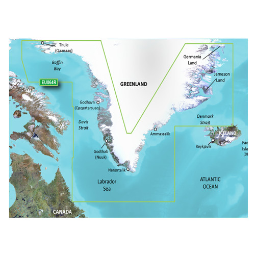
Garmin - BlueChart g3 Vision HD Electronic Chart - VAF451S, Namibia, Knysna, SA, microSD/SD
-
Perfet Fit, Guaranteed
Get the right part every time
-
Expert Support
Our in-house specialists know our products inside and out
-
Enhanced Value & Service
We go beyond the sale with professional and balanced services
-
Wordwide Delivery
Enjoy hassle-free worldwide delivery
Discover the Depths: Bluechart® g3 Vision® Overview
Dive deep into the southwestern coast of Africa from Cape Ponta-Grossa in Angola to Knysa, South Africa with Bluechart® g3 Vision® HD - VAF451S. This chart offers detailed coverage of essential regions, including Walvis Bay, Namibia, Port Nolloth, Hondelklipbaais, Cape Town, the island of St. Helena, the Tristan da Cunha Group, and Gough Island.
Navigational Precision: Key Features
- Official charts and private sources amalgamation ensures navigational accuracy.
- Spot soundings, depth contours, tides, currents, and detailed harbors and marinas guidance.
- Auto Guidance technology for a suggested route based on your boat's dimensions.
- Enhanced Depth Range Shading for up to 10 depth levels.
- Contours with up to 1-foot precision for better navigation and fishing.
- Shallow Water Shading for user-defined depth assistance.
- Unique 3D perspectives, MarinerEye and FishEye, for an immersive experience above and below the waterline.
- High-definition satellite images for superior situational awareness in ports, marinas, and landmarks.
Visual Clarity: Impeccable Imaging
Experience high-resolution satellite imagery combined with navigational charts for a real-world view of your environment. With the BlueChart g3 Vision HD, sail confidently with a crystal-clear moving-chart representation of your boat’s position. Moreover, make the most of the pristine aerial photographs detailing numerous ports, harbors, and marinas – a valuable tool for unfamiliar terrains.
We ship all in-store (FL) stock orders the same day if placed before 3 PM EST, Monday through Friday. Orders placed after this time will ship the next business day. Orders fulfilled from other warehouses or manufacturers may not ship the same day. If an item is out of stock, we will notify you promptly.


