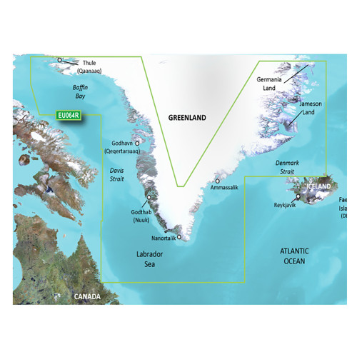
Garmin - BlueChart g3 Vision HD Electronic Chart - VEU464S, Penmarch to Les Sables d'Olonne, microSD/SD
-
Perfet Fit, Guaranteed
Get the right part every time
-
Expert Support
Our in-house specialists know our products inside and out
-
Enhanced Value & Service
We go beyond the sale with professional and balanced services
-
Wordwide Delivery
Enjoy hassle-free worldwide delivery
Unearth the Ocean's Secrets with BlueChart®
Dive into the depths and navigate with precision. The BlueChart® g3 Vision® HD - VEU464S - Penmarch to Les Sables d'Olonne reveals the sea's secrets right at the touch of your fingertips on your microSD™/SD™ device.
Sailing the Vast Blue Expanse
Chart your journey from Guilvinec to Les Sables D'Olonne with unmatched precision. Navigate through St. Nazaire, drift by the scenic Loire to Nantes, and explore Belle Ile, Ile de Groix, and Ile d'Yeu.
Revolutionize Your Navigation Experience
Transcend traditional navigation with our premier coastal charts. Fusing the genius of Garmin and Navionics®, our charts revolutionize your sea expeditions with:
- Clarity and detail like never before with up to 1’ contours for accurate bottom structures.
- User-defined Shallow Water Shading to avoid precarious areas.
- Depth Range Shading for up to 10 depths, ensuring your target depth is always in view.
- Auto Guidance technology for plotting a safe course while factoring in depth and overhead clearances.
Uncover the Marine World in HD
Enhance your nautical journey with high-resolution satellite imagery merged seamlessly with navigational charts. This charting display transforms your chartplotter into a visual marvel, making harbor entries and port plans straightforward, even in unfamiliar territories.
View Beneath the Waves
Get the advantage with FishEye View's 3-D underwater perspective. Witness the marine topography and contours from a unique below-the-waterline viewpoint and integrate with sonar data for a tailored perspective.
A Bird's Eye of Your Surroundings
With MarinerEye View, behold a 3-D overview of the environment both above and beneath the waterline. It's navigation like never before.
Highlights and Hidden Gems
- High-definition visual navigation.
- Integrated Garmin and Navionics® content.
- Depict bottom structures with 1’ contours.
- 3-D representations both above and below water.
- Crystal-clear aerial photography.
We ship all in-store (FL) stock orders the same day if placed before 3 PM EST, Monday through Friday. Orders placed after this time will ship the next business day. Orders fulfilled from other warehouses or manufacturers may not ship the same day. If an item is out of stock, we will notify you promptly.


